Drone
Models for Change
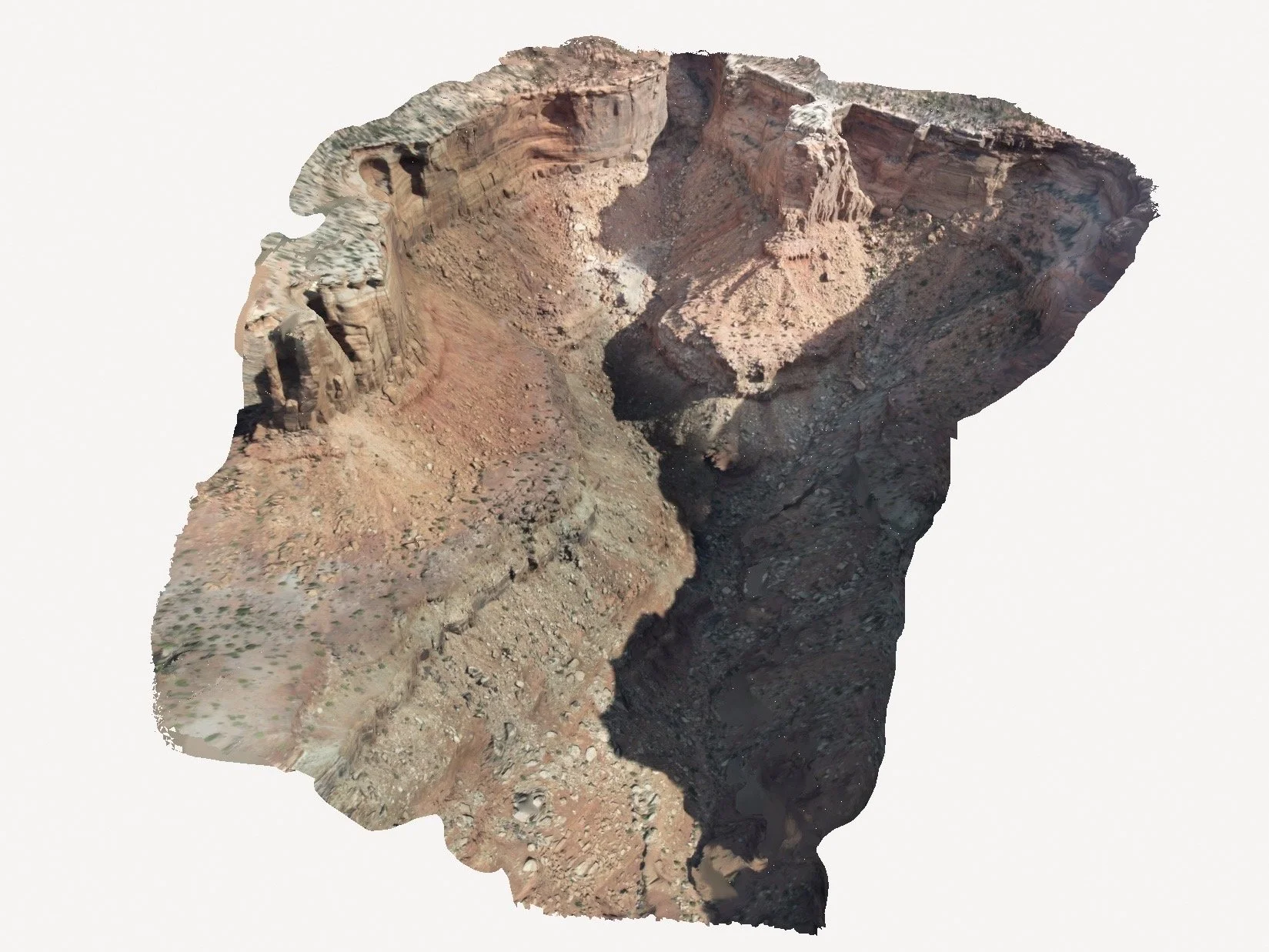
Photogrammetry is the process of turning photos into precise maps and 3D models. Scientists use it to study how the Earth is changing, from melting glaciers to shifting coastlines. By comparing images over time, photogrammetry helps track climate impacts, monitor natural disasters, and protect ecosystems, offering a clearer picture of our planet's health. It’s also a powerful tool in education, helping students and researchers visualize real-world data and better understand environmental processes.
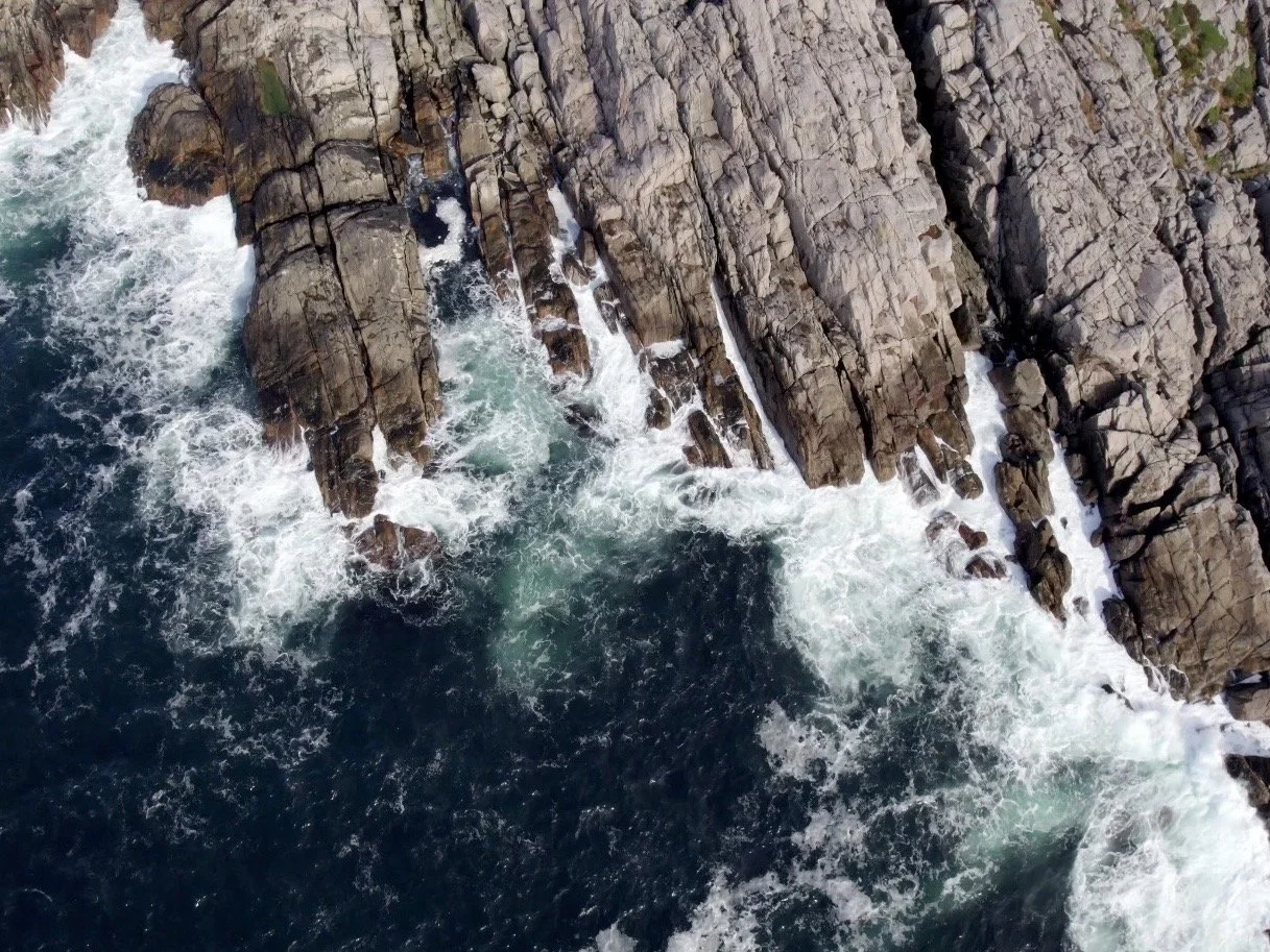
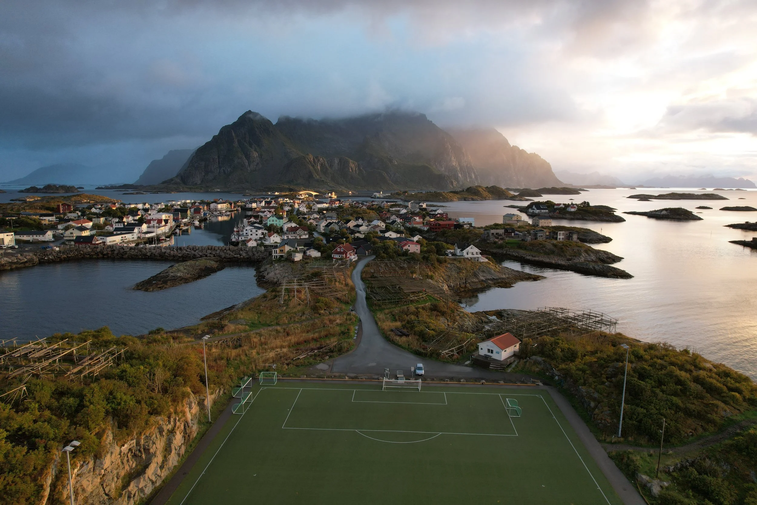
Aerial footage provides a wider lens on the environments we move through. Using drones, I document landscapes, ecosystems, and outdoor recreation from a perspective that helps us understand scale, impact, and connection. Every flight is an opportunity to tell a deeper environmental story.
Aerial Perspectives
All drone operations were conducted in full accordance with FAA Part 107 guidelines. Flight authorizations, permits, and location-specific permissions were secured whenever required.